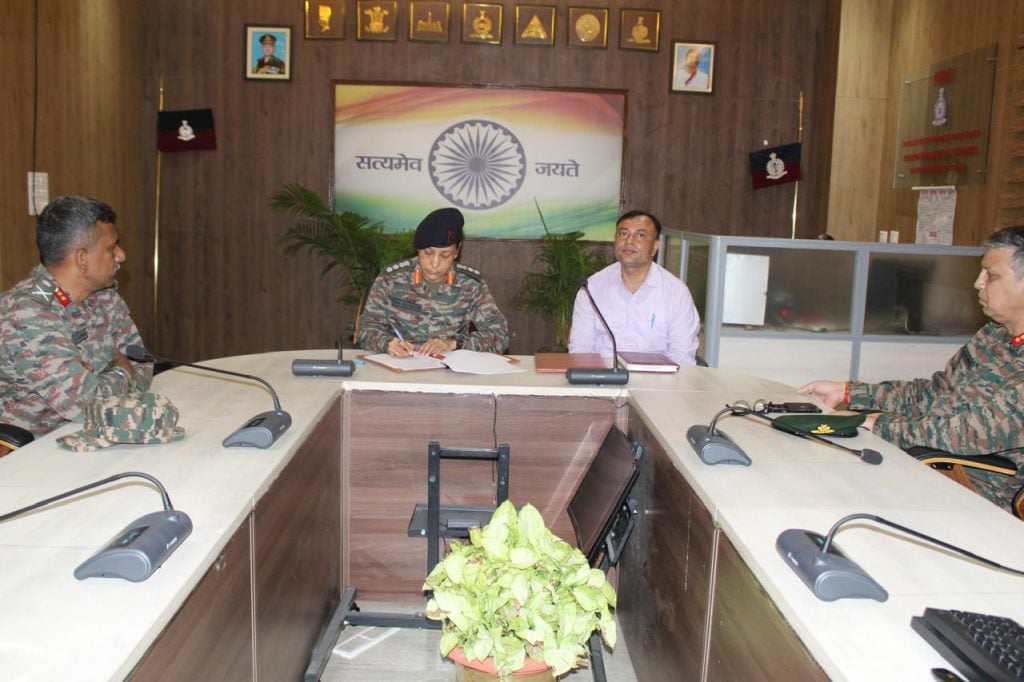
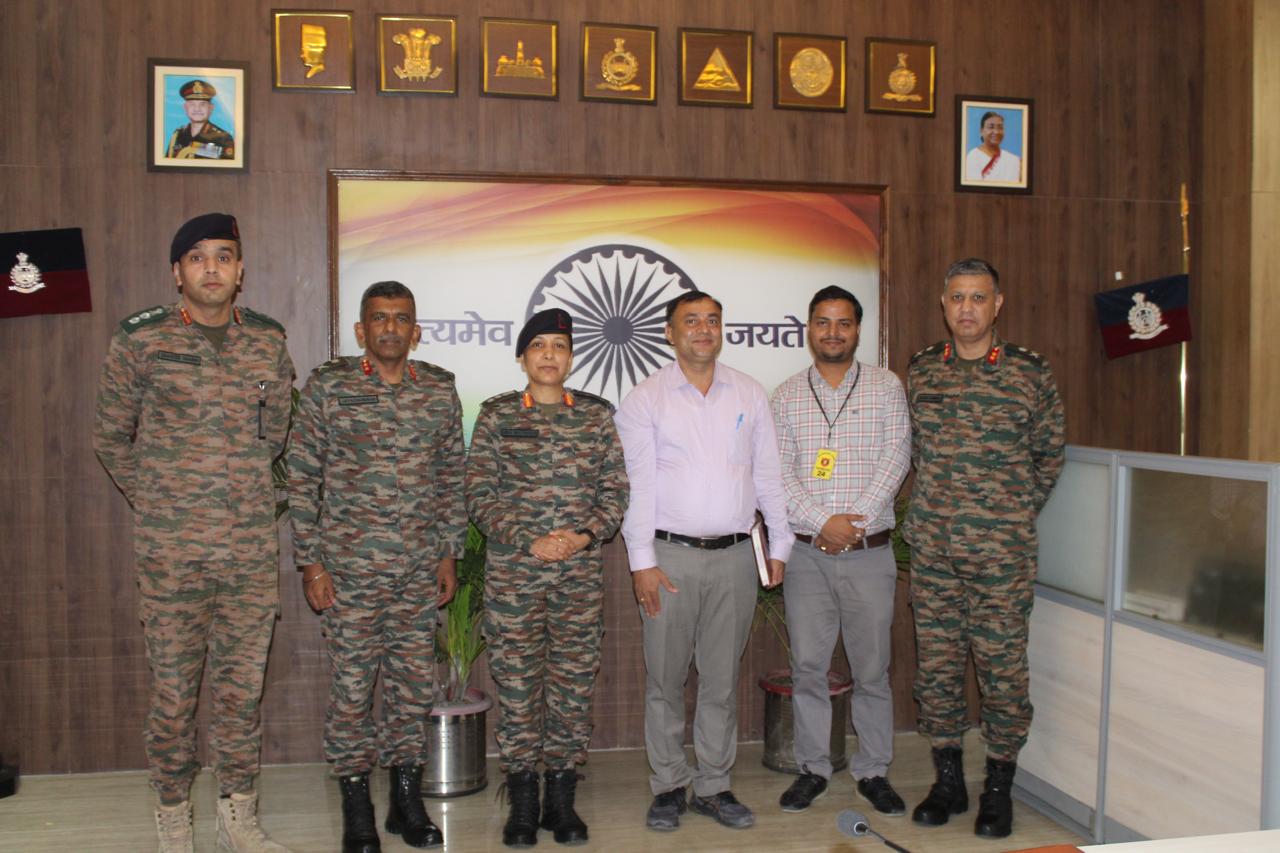
In a significant stride toward modernizing defense infrastructure, the Indian Army’s Surya Command has launched a joint R&D project with the Indian Institute of Technology (IIT) Ropar to develop an AI-driven model for estimating soil bearing capacity across varied terrains. The initiative leverages artificial intelligence, machine learning, Geographic Information Systems (GIS), and remote sensing to streamline infrastructure planning for military operations.
This cutting-edge collaboration aims to build predictive tools that integrate geo-spatial data with advanced algorithms to assess land usability with higher precision, speed, and sustainability. The project aligns with the Army’s broader commitment to innovation, designated under its 2024 “Year of Technology Absorption” initiative, which prioritizes advanced technology adoption for future operational preparedness.

A key scientific foundation for the project comes from a ScienceDirect study demonstrating the effectiveness of remote sensing in estimating soil load-bearing capacity, especially in flat terrains where variations average just 0.5% annually. The ability to rapidly and accurately assess soil strength is expected to improve the efficiency of constructing forward bases, helipads, and logistics nodes in high-altitude or inaccessible regions.
The Indian Army’s move mirrors international defense trends. A NATO report highlighted the role of AI in improving strategic infrastructure resilience, while recent military conflicts, including the Russia-Ukraine war, have underscored the limitations of outdated terrain assessment methods in high-tech battlefields.
By combining indigenous research with military needs, the partnership not only bolsters India’s strategic engineering capabilities but also enhances national security infrastructure. It is a step forward in creating smarter, more adaptive systems that reflect the realities of modern warfare and changing environmental conditions.


