
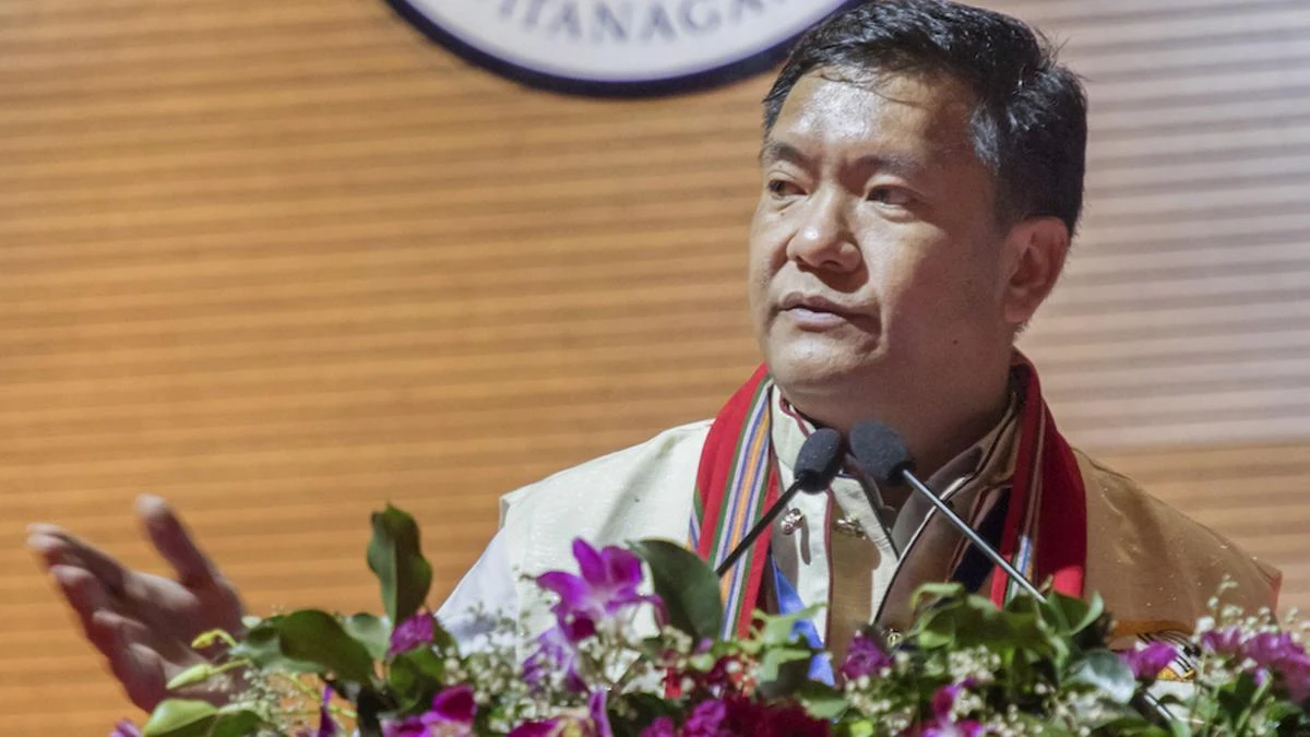
Arunachal Pradesh Chief Minister Pema Khandu has firmly rejected reports alleging Chinese military encroachment into the state, asserting that the Indian Army continues to effectively patrol and safeguard every inch of the territory along the Line of Actual Control (LAC).




Addressing reporters, Khandu stated that there were no signs of any encroachment in Arunachal Pradesh and expressed confidence in the operational preparedness and vigilance of the Indian Army. He said the Army remains fully committed to securing the border and maintaining a robust presence across the frontier, ensuring the safety and territorial integrity of the state.
The Chief Minister’s remarks come amid renewed attention to the India-China boundary following the Government of India’s decision to formally identify and standardise 27 locations in Arunachal Pradesh on the official Survey of India map. The initiative aims to ensure accurate identification of these places and improve public awareness of their geographical, historical and strategic significance.
According to the government, the formal inclusion of these locations on official maps is intended to facilitate their correct recognition while reinforcing their place within India’s administrative and geographical framework. Several of the identified sites are situated close to the Line of Actual Control and have considerable historical and military significance.
Among the locations included are Long Ju, one of the earliest flashpoints in India-China border tensions where Chinese troops entered the area in 1959, three years before the 1962 conflict. The updated map also includes Maja village in Upper Subansiri district, located near Long Ju, as well as Bisa village and the strategically important mountain passes of Dzo La, Riza La and Pukur La.
Another significant location formally identified is Thag La, the high-altitude pass that witnessed one of the opening battles of the 1962 India-China War. Jairampur in Changlang district has also been included, recognising its importance as a logistics hub supporting the movement of security forces towards eastern Arunachal Pradesh and the India-Myanmar border.
Other locations added to the official map include Sambho Sarovar, Bara Kundun, Chhota Kundun, Dhan Bari, Pritnagar, Teritnagar, Ramnagar, Jaswant Garh, Sagar, Padma, Jyotinagar, Baisakhi, Sher-e-Thapa Memorial, Chhota Ropuk, Bara Ropuk, Shivaji Nagar, Sunpura, Kamlang Nagar and Buddhamandir.
The mapping exercise comes against the backdrop of China’s repeated attempts to assign Chinese names to places in Arunachal Pradesh, which Beijing refers to as “Zangnan.” India has consistently rejected these actions, maintaining that Arunachal Pradesh is an integral and inalienable part of the country and that assigning alternative names cannot alter established facts on the ground.
New Delhi has repeatedly described China’s renaming exercises as baseless and without legal or territorial validity, emphasising that such attempts neither affect India’s sovereignty over Arunachal Pradesh nor change the state’s status within the Union of India. Indian officials have also cautioned that such actions do not contribute positively to the broader objective of improving bilateral relations between the two countries.
China first released a list of six so-called standardised names for locations in Arunachal Pradesh in 2017, followed by additional lists covering 15 locations in 2021 and 11 locations in 2023. India has consistently rejected each of these announcements while reaffirming its sovereign rights over the state.
Chief Minister Pema Khandu’s statement reinforces the confidence of the state government in the Indian Army’s operational readiness and border management capabilities. His remarks underscore that the security situation along Arunachal Pradesh’s frontier remains under constant surveillance and that the Armed Forces continue to maintain a high level of preparedness in safeguarding India’s territorial integrity along the Line of Actual Control.